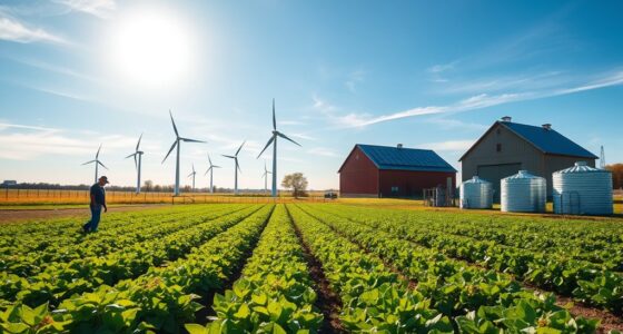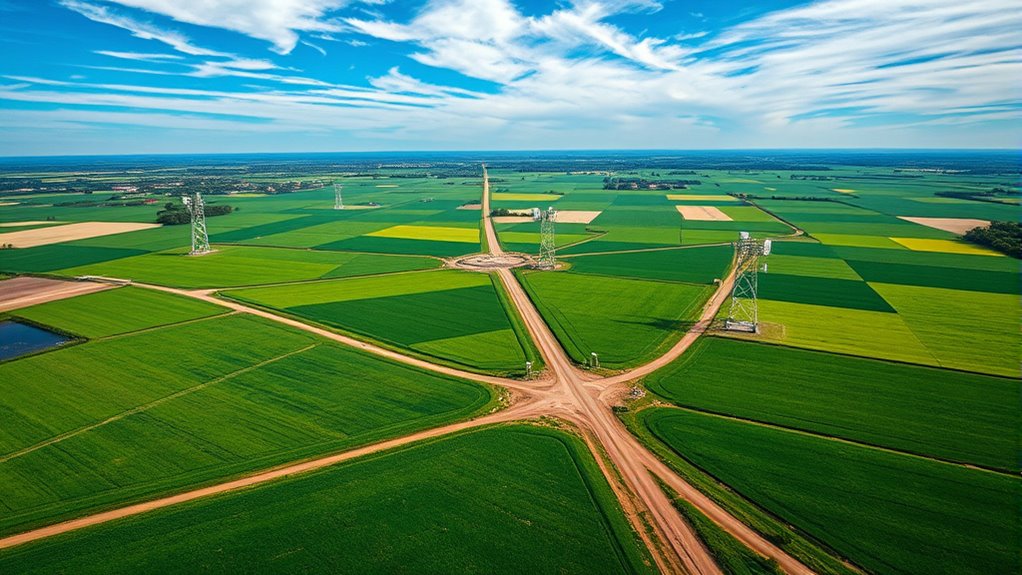

Advances in remote sensing now allow you to access precise, real-time satellite data that substantially improve crop yield predictions. By capturing detailed information on crop health, soil conditions, and environmental factors, you can monitor fields more effectively. The integration of multispectral imagery and frequent data updates helps detect issues early and adapt strategies quickly. Keep exploring to discover how these innovations are transforming agriculture and boosting productivity worldwide.
Key Takeaways
- Remote sensing technology enables frequent, detailed satellite data collection for accurate crop health and growth monitoring.
- Advances include multispectral imaging and integration of weather and soil data for comprehensive analysis.
- Near real-time satellite data aids early detection of stress, pests, and diseases in crops.
- Machine learning analyzes satellite imagery to improve yield predictions and reduce human bias.
- These innovations promote sustainable farming practices and enhance resilience against environmental challenges.

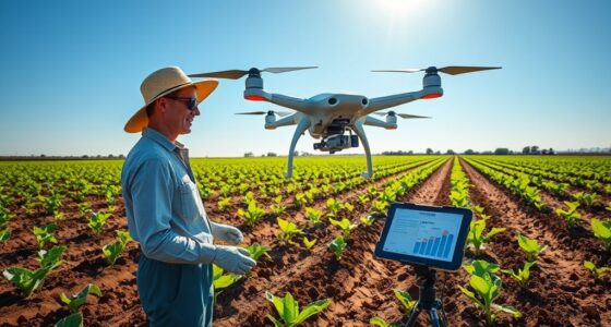
Have you ever wondered how farmers and researchers can accurately predict crop yields before harvest? The answer lies in the powerful combination of remote sensing technology and advanced data analysis methods. Satellite data provides an extensive view of large agricultural areas, capturing essential information about crop health, soil conditions, and environmental factors. But the real game-changer is how this data is processed and interpreted using machine learning algorithms. These algorithms analyze vast quantities of satellite imagery to identify patterns and make predictions with impressive precision. The result is a significant boost in data accuracy, allowing for more reliable yield forecasts before the crops are even harvested.
Machine learning plays a key role in transforming raw satellite data into actionable insights. These algorithms can sift through enormous datasets, filtering out noise and focusing on relevant features that influence crop growth. By training models on historical satellite data combined with known yield outcomes, machine learning systems learn to recognize subtle indicators of future productivity. This process enhances data accuracy because it reduces human bias and error, providing consistent and objective predictions across different regions and crop types. The more data fed into these models, the better they become at predicting yields, creating a feedback loop that continually improves forecast reliability.
Machine learning refines satellite data for consistent, accurate crop yield predictions across regions and crop types.
The ability to forecast crop yields accurately before harvest offers numerous benefits to farmers, policymakers, and supply chain managers. Farmers can make informed decisions about resource allocation, such as irrigation and fertilizer use, leading to cost savings and better crop management. Policymakers can plan for market demands and food security, reducing waste and ensuring adequate supply. Supply chain stakeholders can optimize logistics, avoiding shortages or surpluses that might otherwise lead to economic losses. All these advantages stem from the enhanced data accuracy provided by satellite-based machine learning models, which can process multispectral imagery, weather data, and soil information in real time.
Furthermore, advances in remote sensing mean that satellite data collection is more frequent and detailed than ever before. This continuous stream of information allows for near real-time monitoring of crop conditions, enabling proactive responses to adverse weather events or pest outbreaks. The integration of machine learning with this high-resolution data makes it possible to detect early signs of stress or disease, giving farmers a head start in managing potential issues. In essence, satellite data, combined with sophisticated data analysis techniques, is revolutionizing how we predict and manage crop yields, making agriculture more efficient, sustainable, and resilient. Enhanced data accuracy improves decision-making and resource management, further increasing the impact of these technological advancements.
Frequently Asked Questions
How Do Weather Patterns Influence Satellite-Based Crop Predictions?
Weather patterns considerably impact satellite-based crop predictions by causing climate variability that affects crop growth. You need to account for these fluctuations through data calibration, ensuring satellite data remains accurate despite changing conditions. When weather varies unexpectedly, it can distort data signals, so regularly calibrating your data helps maintain reliable predictions. Monitoring climate variability allows you to adjust your models, improving the precision of crop yield estimates derived from satellite observations.
What Are the Limitations of Satellite Resolution in Crop Monitoring?
You’re probably dreaming of perfect crop images, but satellite resolution often falls short. Low spatial resolution blurs field details, making it tough to spot pests or diseases early. Plus, data latency drags behind real-time needs, leaving you guessing instead of knowing. These limitations can mislead farmers, causing missed opportunities or wasted resources. So, while satellites are helpful, don’t rely solely on them for precise crop monitoring.
How Cost-Effective Is Satellite Data for Small-Scale Farmers?
Satellite data can be quite cost-effective for small-scale farmers because of improved data accessibility and decreasing costs. You benefit from real-time insights into crop health and yield predictions without hefty investments. While initial setup might seem expensive, ongoing costs are manageable, making it economically feasible. This technology helps you optimize resources and boost productivity, ensuring better decision-making while maintaining affordability.
Can Satellite Data Predict Pest Infestations Affecting Crops?
Think of satellite data as a vigilant guardian watching over your fields like a hawk. It can help predict pest infestations by analyzing drone surveillance images and soil moisture levels, which pests often exploit. You can catch early signs of trouble, allowing you to act swiftly. This proactive approach helps protect your crops, reduces pesticide use, and keeps your harvest healthy and plentiful.
How Is Machine Learning Integrated With Satellite Imagery for Yield Forecasts?
You can integrate machine learning with satellite imagery by applying deep learning models that analyze large datasets. First, you perform data preprocessing to clean and organize the satellite data, making it suitable for model training. Then, you train the models on historical crop data, enabling accurate yield forecasts. This approach helps you identify patterns and predict future yields more precisely, optimizing agricultural decision-making and resource allocation.
Conclusion
You now see how satellite data revolutionizes crop yield prediction, allowing you to monitor fields with unprecedented precision. By harnessing these advanced tools, you can make smarter decisions, much like farmers in the Victorian era relied on weather signs and intuition—only now, satellites do the heavy lifting. As technology continues to evolve, you’ll find yourself better equipped to safeguard food security and optimize resources for generations to come.