
Monitoring soil carbon with MRV technologies offers exciting opportunities to gather accurate data over large areas using remote sensing tools like satellites or drones, reducing the need for invasive sampling. You can integrate these tools with ground measurements to improve understanding and assessment accuracy. However, challenges such as data variability and technical complexity require sophisticated analysis and standardized methods. Exploring these solutions further will help you better leverage technology for effective soil carbon management.
Key Takeaways
- Remote sensing enables broad, rapid monitoring of soil carbon, reducing reliance on invasive sampling methods.
- Integrating remote sensing with ground data improves accuracy but faces challenges due to sensor variability and data formats.
- Advanced AI tools enhance interpretation of complex datasets, supporting scalable, cost-effective soil carbon assessments.
- Data harmonization requires standardized, high-quality datasets and technical expertise to minimize errors.
- Effective MRV systems inform sustainable land management and climate mitigation efforts through timely, precise insights.

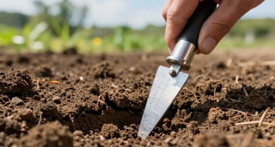
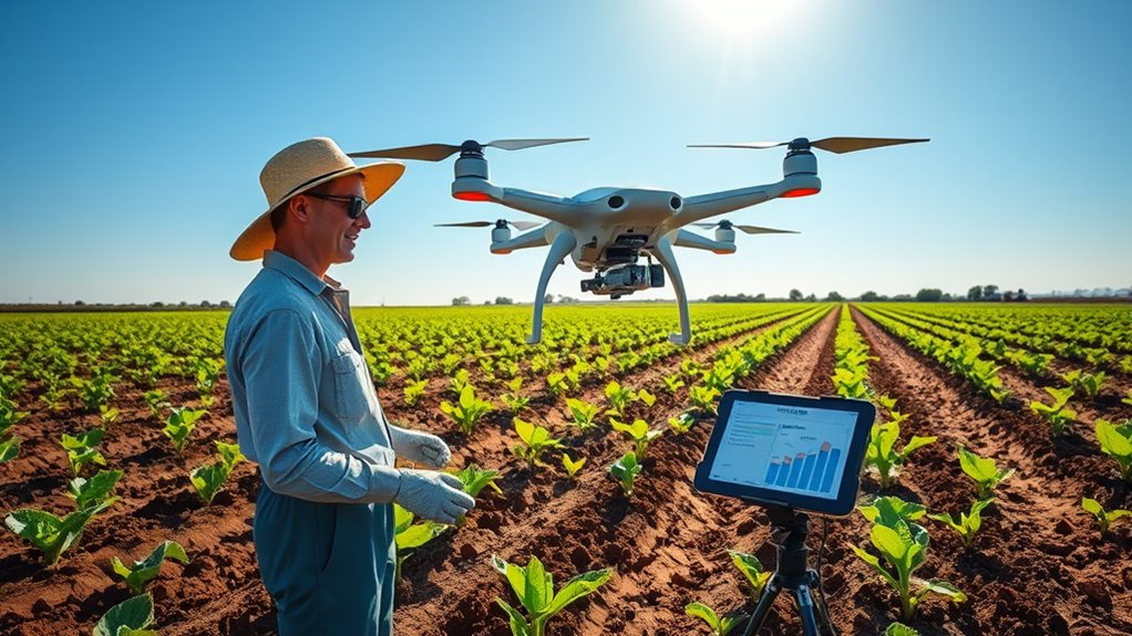
Have you ever wondered how we can accurately track changes in soil health? It’s a question many researchers and land managers ask as they look for efficient ways to monitor soil carbon levels over time. One of the most promising tools available is remote sensing, which allows us to gather large amounts of data quickly from satellites or drones. By capturing images and spectral data from above, remote sensing provides an extensive view of soil conditions across broad areas that would be impossible to survey on foot. This technology enables continuous monitoring, helping you spot trends and changes in soil carbon stocks without the need for invasive sampling.
However, remote sensing alone doesn’t give you all the answers. To truly understand soil health, you need to integrate this data with other sources—like ground-based measurements, soil samples, and environmental variables. This process, known as data integration, combines the strengths of different datasets to create a more complete picture of soil carbon dynamics. For example, satellite imagery might show areas of higher or lower reflectance, indicating potential differences in organic matter content, but ground samples can confirm those findings by providing precise measurements. When you merge these data streams, you enhance the accuracy and reliability of your assessments, making it easier to detect subtle changes over time.
The challenge lies in ensuring that all these data sources work seamlessly together. Different sensors, formats, and resolutions can complicate the integration process. You need robust analytical tools and algorithms that can harmonize diverse datasets, account for variability, and minimize errors. This requires not only technical expertise but also access to high-quality, standardized data. As you develop and refine your data integration methods, you gain the ability to produce more accurate soil carbon maps, track progress of carbon sequestration efforts, and inform management decisions with greater confidence. Additionally, advancements in AI-powered data analysis are increasingly aiding in the interpretation of complex datasets, further improving the reliability of soil monitoring efforts.
Despite these challenges, the opportunities are substantial. Combining remote sensing with data integration allows for scalable, cost-effective monitoring that covers large landscapes over time. It minimizes the need for frequent, costly sampling campaigns, freeing resources for targeted interventions. As technology advances, you’ll find that these integrated approaches become even more precise and accessible, providing essential insights for sustainable land management, climate change mitigation, and soil conservation initiatives. Embracing remote sensing and data integration puts you at the forefront of soil carbon monitoring, empowering you to make informed decisions that support environmental health and resilience.

Remote Sensing in Precision Agriculture: Transforming Scientific Advancement into Innovation (Earth Observation)
As an affiliate, we earn on qualifying purchases.
As an affiliate, we earn on qualifying purchases.
Frequently Asked Questions
How Do MRV Technologies Compare in Cost Effectiveness?
You’ll find that MRV technologies vary in cost effectiveness, with some offering better cost comparison and technology affordability than others. More affordable options like remote sensing and simplified field measurements can reduce expenses, while advanced methods like spectroscopy or drone imaging may be pricier but provide more precise data. Ultimately, choosing the right technology depends on balancing initial costs with long-term benefits and accuracy needs, ensuring you get the best value for your investment.
What Are the Data Privacy Concerns With Soil Monitoring?
Imagine your soil data as a treasure chest; without proper safeguards, it’s vulnerable. You might worry about data security breaches or misuse of sensitive information. Privacy regulations aim to protect your rights, but gaps can still exist. You need to make certain that soil monitoring systems comply with these rules, so your data remains confidential. Staying vigilant helps prevent unauthorized access and maintains your trust in soil MRV technologies.
How Can Small-Scale Farmers Access These Technologies?
You can access these technologies by focusing on farmer education programs that teach you how to use them effectively. Look for affordable equipment options, often available through government grants or cooperative purchasing programs. Many organizations now provide training and support, making it easier for small-scale farmers like you to adopt MRV technologies. Staying informed and seeking community resources can help you implement soil monitoring without breaking the bank.
What Training Is Needed to Interpret Soil Carbon Data?
Interpreting soil carbon data might seem like decoding an ancient script, but with proper training, you’ll master it. Focus on soil sampling techniques to guarantee accurate data collection and understand how to calibrate data correctly. You’ll learn to recognize patterns, differentiate soil types, and identify changes over time. This training empowers you to make informed decisions, boosting your farm’s sustainability and resilience in a way that feels like wielding a superpower.
How Do Climate Variations Affect Measurement Accuracy?
Climate variability can markedly affect measurement precision when monitoring soil carbon. Sudden changes in temperature, rainfall, or humidity alter soil conditions, making it harder to get consistent readings. These fluctuations can introduce errors or bias into your data, reducing accuracy. To improve measurement reliability, you need to account for climate variability by timing measurements carefully and using calibrated tools that adjust for environmental factors.
THIRDREALITY Smart Soil Moisture Sensor Gen2 3Pack,Zigbee hub Needed, nhanced Signal Stability,Capacitive Moisture Monitoring,Garden Planting, Compatible with Hubitat,SmartThings,Home Assistant,Homey
Zigbee Hub Required: Compatible with standard Zigbee 3.0, such as Echo (4th Gen), Echo Plus (1st Gen and…
As an affiliate, we earn on qualifying purchases.
As an affiliate, we earn on qualifying purchases.
Conclusion
You now see that mastering soil carbon measurement demands meticulous methods and mindful management. By embracing innovative MRV technologies, you can confidently correct course, creating clearer, consistent conservation commitments. Challenges may arise, but with dedicated diligence and data-driven decisions, you’ll dominate doubts and deliver durable, dynamic results. Remember, precise practices and persistent progress propel progress, powering a promising path toward healthier soils, sustainable solutions, and a secure, soil-centered future.

MySoil Soil Test Kit, Unlock Your Lawn & Garden Potential, Complete & Accurate Nutrient and pH Analysis with Recommendations Tailored to Your Soil and Plant Needs
KNOW BEFORE YOU GROW | Grow the healthiest, sustainable lawn and garden with the most accurate and easy…
As an affiliate, we earn on qualifying purchases.
As an affiliate, we earn on qualifying purchases.
Sukiise Soil Sample Probe 12 Inch with T Handle, Soil Sampler Tool, Soil Test Kit, Soil Probe for Soil Sampling Plant Care Lawn Garden Farm
Easy to get Soil Sample out of Tube-Designed with special structure in tube tip, do not worry soil…
As an affiliate, we earn on qualifying purchases.
As an affiliate, we earn on qualifying purchases.