Satellite maps in modern agronomy help you monitor your crops in real-time with high-resolution data. They allow you to quickly identify issues like pests, disease, or nutrient deficiencies, so you can respond promptly. By analyzing multispectral images, you gain insights into plant health and stress levels. This precise information helps you make better decisions, optimize resource use, and boost yields. Keep exploring to discover how these technologies can transform your farming practices.
Key Takeaways
- Satellite maps provide real-time, high-resolution data to monitor crop health and land conditions efficiently.
- They enable targeted interventions by identifying areas with disease, pests, or nutrient deficiencies.
- Multispectral imaging assesses plant vigor, chlorophyll content, and stress levels for precise crop management.
- Improved sensor calibration and data analysis techniques enhance the accuracy and reliability of satellite-derived information.
- Satellite maps support sustainable resource use by optimizing input application and reducing environmental impact.

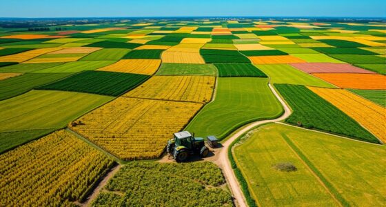
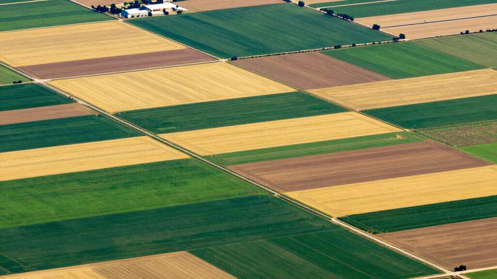
Satellite maps have revolutionized modern agronomy by providing farmers and researchers with real-time, high-resolution data about crop health, soil conditions, and land use. These maps enable you to monitor large areas efficiently, helping you make informed decisions that boost productivity and sustainability. With satellite imagery, you can quickly identify areas where crops are thriving or struggling, allowing you to respond promptly to issues like disease, pest infestation, or nutrient deficiencies. This real-time insight guarantees you don’t waste resources on healthy fields while neglecting those in trouble.
Satellite maps provide real-time, high-resolution data to optimize crop health, soil conditions, and land use management.
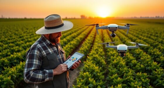
When it comes to crop health, satellite maps are invaluable. They use multispectral imaging to detect variations in plant vigor, chlorophyll content, and stress levels. By analyzing these images, you can pinpoint specific zones that need attention, whether it’s adjusting fertilizer application or scheduling targeted interventions. This precise approach helps you optimize yields while minimizing input costs and environmental impact. You can also use satellite data to track changes over time, giving you a clear picture of how your crops respond to different management strategies. Additionally, color accuracy in satellite imagery ensures the reliability of these assessments, enabling more accurate decision-making. The use of remote sensing technologies allows for continuous monitoring without physical presence, saving time and labor. Proper calibration of satellite sensors further enhances the accuracy of data, ensuring your decisions are based on dependable information. Incorporating satellite imagery analysis techniques can further refine your ability to interpret complex data and improve crop management strategies. Moreover, advancements in sensor calibration contribute to the ongoing improvement of data quality, making satellite maps an even more reliable tool for agronomists.

Push Button Agriculture: Robotics, Drones, Satellite-Guided Soil and Crop Management
As an affiliate, we earn on qualifying purchases.
As an affiliate, we earn on qualifying purchases.
Frequently Asked Questions
How Often Are Satellite Images Updated for Agricultural Monitoring?
Satellite images for agricultural monitoring are typically updated every few days to a couple of weeks, depending on the satellite’s image frequency and resolution. Higher satellite resolution often means more detailed images, but they may be updated less frequently. You should check specific satellite services because some offer daily updates, while others might only refresh data weekly or biweekly. This update schedule helps you stay informed about crop health and field conditions.
What Are the Costs Associated With Satellite Mapping Services?
Ironically, satellite mapping services are surprisingly affordable—if you don’t mind the cost comparison and ongoing service subscriptions. You might think top-tier data comes with a hefty price tag, but many providers offer tiered plans to fit different budgets. Costs vary based on resolution and coverage, so you can choose a plan that aligns with your needs without breaking the bank. Just remember, quality often comes with a price.
How Do Satellite Maps Compare to Drone Imagery in Farming?
Satellite maps offer broader coverage with high satellite resolution, making them ideal for large-scale farming. They are less detailed than drone imagery but provide consistent, up-to-date data for crop health and field analysis. You can utilize advanced image analysis techniques to interpret satellite data effectively. Drones, however, capture higher-resolution images over smaller areas, making them better for detailed inspections. Choose based on your farm size, detail needs, and budget.
Can Satellite Data Predict Future Crop Yields Accurately?
Satellite data can predict future crop yields with some accuracy, especially when you consider soil health and pest detection. You can track soil conditions and identify pest issues early, helping you make informed decisions. However, if you rely solely on satellite data, predictions might lack precision because weather variability and unseen factors influence yields. Combining satellite insights with on-the-ground data offers the best chance for accurate crop yield forecasts.
What Privacy Concerns Exist With Satellite Imaging of Farms?
You should be aware that satellite imaging of farms raises privacy risks, as sensitive farm data could be accessed or misused without permission. Data security is a concern because unauthorized parties might exploit satellite data for competitive advantage or privacy breaches. To protect your farm’s privacy, guarantee secure data handling, understand the policies of satellite service providers, and advocate for regulations that safeguard farm information from misuse or intrusive surveillance.

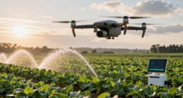
DJI P4 Multispectral Agriculture Drone, 3-Axis Stabilized Camera, RGB + 5 Multispectral Sensors, RTK Module, 27-Min Flight Time, 4.4-Mile Range
MULTISPECTRAL IMAGING: Advanced 6-camera array system featuring RGB camera for visible light plus 5 specialized cameras capturing multiple…
As an affiliate, we earn on qualifying purchases.
As an affiliate, we earn on qualifying purchases.
Conclusion
You now see how satellite maps revolutionize farming—covering thousands of acres in seconds and providing real-time data. Did you know that farmers using satellite imagery have increased crop yields by up to 15%? This technology helps you make smarter decisions, optimize resources, and boost productivity. As you embrace these tools, you’ll stay ahead in modern agronomy, ensuring healthier crops and more efficient farms. The future of farming is clearly rooted in satellite technology.

Methodologies Used in Remote Sensing Data Analysis and Remote Sensors for Precision Agriculture
As an affiliate, we earn on qualifying purchases.
As an affiliate, we earn on qualifying purchases.
crop health satellite imagery
As an affiliate, we earn on qualifying purchases.
As an affiliate, we earn on qualifying purchases.